01
Private Utility Locating
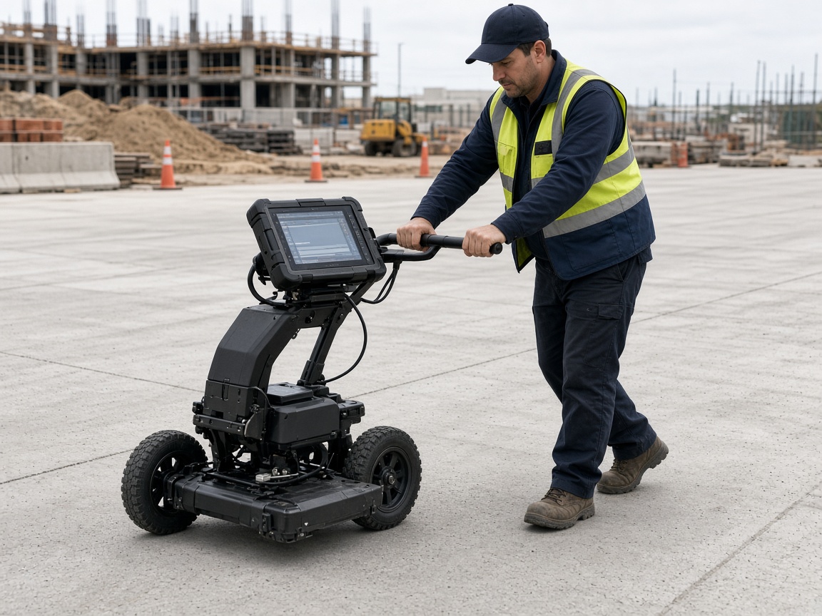
Electromagnetic locating of privately owned lines that 811 does not mark.
View service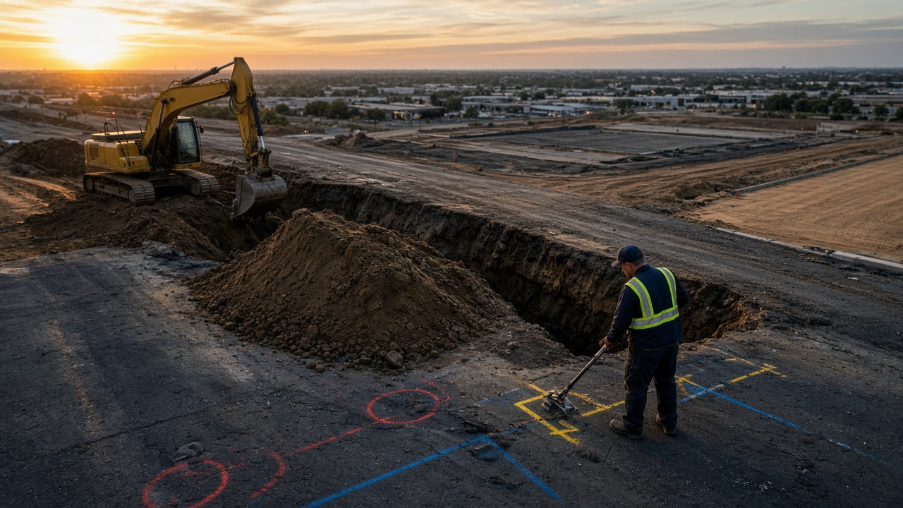
Commercial & industrial locating
Private utility locating, GPR, mapping, and damage prevention delivered by local crews in metros across the United States.
About Pinnacle Utility Locating
Pinnacle Utility Locating is a private utility locating company delivering professional subsurface investigation for commercial, industrial, and municipal properties across the United States. We find and mark buried utilities that public 811 tickets do not cover — so crews can excavate without hitting what they cannot see.
From electromagnetic locating and ground penetrating radar to concrete scanning, utility mapping, and documented damage-prevention records, our crews focus on the fundamentals that prevent strikes: the right method for the soil and surface, documented APWA marks, and maps the superintendent can actually use.
Every market is staffed by local crews operating to the same national standards, documentation, and safety expectations — so a contractor with sites in six states gets one consistent experience.
Capabilities
Five core service lines delivered by local crews to one national standard.
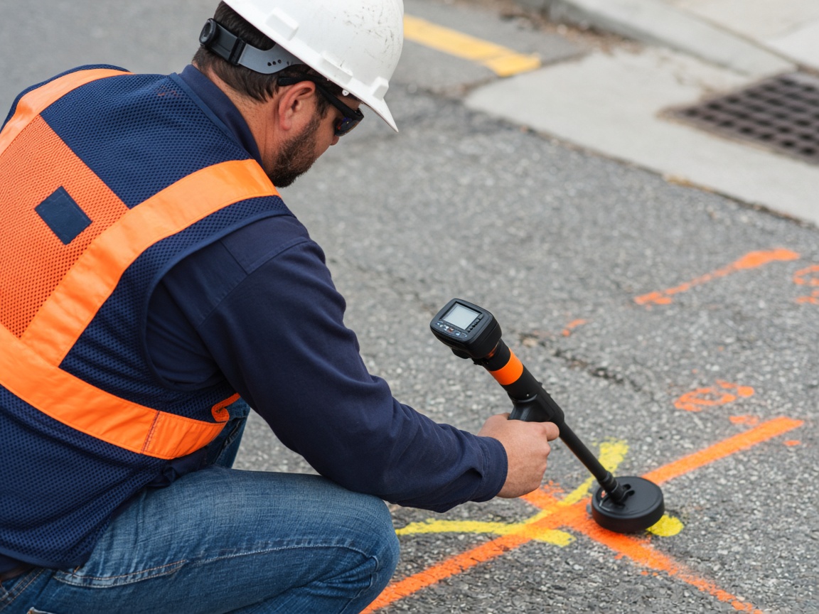
Electromagnetic locating of privately owned lines that 811 does not mark.
View serviceGPR scans for non-conductive lines, voids, and unknown subsurface features.
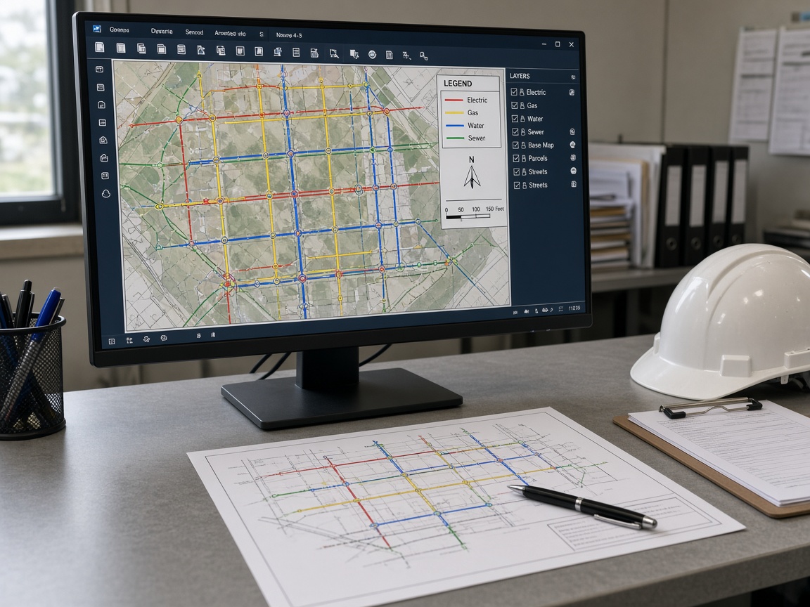
View serviceCAD and GIS maps of marked utilities for design, as-builts, and records.
View serviceGPR scanning of slabs and walls for rebar, conduit, and post-tension cable.
View service811 support, ticket review, and documented locates that keep jobsites strike-free.
View serviceHow we work
Predictable execution from first ticket review to documented closeout — at every stage.
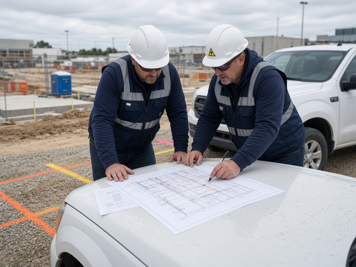
We review the 811 ticket, as-builts, and access, then walk the property to confirm what public marks miss before quoting.
You receive a written scope with methods, coverage area, deliverables, and pricing — typically within 48 hours.
Crews apply EM, GPR, and concrete scanning as specified and paint APWA color-coded marks on the ground.
Marks are documented with photos, sketches, or CAD/GIS mapping so the next crew is not starting from zero.
You receive locate records, maps, and a documented closeout your superintendent can file with the job.
Who we serve
From a single jobsite to multi-state industrial portfolios, we scope locates around operations — not the other way around.
Nationwide coverage
Every pin is a staffed market with its own crews, equipment, and direct local number. Select one to see local coverage and contact details.
46 markets shown
No markets match that search. Ask about coverage.
Coverage
Select your market for local contact details and service information.
Client feedback
Pinnacle marked private electric and comms our 811 ticket never showed. The crew was on time, the paint was clear, and we excavated the same afternoon without a strike.
We needed GPR and mapping across a plant yard before a fiber build. Pinnacle documented everything, coordinated with our safety rules, and the drawings actually matched the field.
Great experience from ticket review to closeout. The locating and mapping were professional, and the Dallas crew made it simple to get the records our inspector asked for.
FAQ
Most commercial proposals are delivered within 48 hours of the site review. Multi-site or mapping programs may take slightly longer because each location is scoped for access, methods, and deliverables individually.
Yes. Public one-call marks the utilities that member companies own. Privately owned electric, water, comms, irrigation, and process lines on the customer side of the meter are our primary work — and the lines most often hit.
Our crews carry general liability and workers' compensation coverage in the markets where they operate, and we regularly complete vendor onboarding, insurance certificates, and safety documentation for GCs, industrials, and property managers.
Electromagnetic locating is the first method for conductive lines. We add GPR for plastic pipe, unknown utilities, voids, and concrete scanning. The proposal states which methods apply to your soil, surface, and utility types.
Yes. Ownership groups and contractors with locations in multiple states work with a single point of contact while local crews execute to the same standards and reporting format.
Typical packages include APWA paint marks in the field, photo documentation, sketches, and CAD or GIS mapping when specified.
Request a site assessment and receive a written scope with methods, coverage, and pricing — typically within 48 hours.